Large-scale power grid inspection for Agder Energi Nett

Agder Energi Nett transmits electricity to 210,300 grid customers in Agder, making it Norway's fourth largest grid company. Agder Energi Nett owns and has operational responsibility for the power grid in Agder.
Challenge
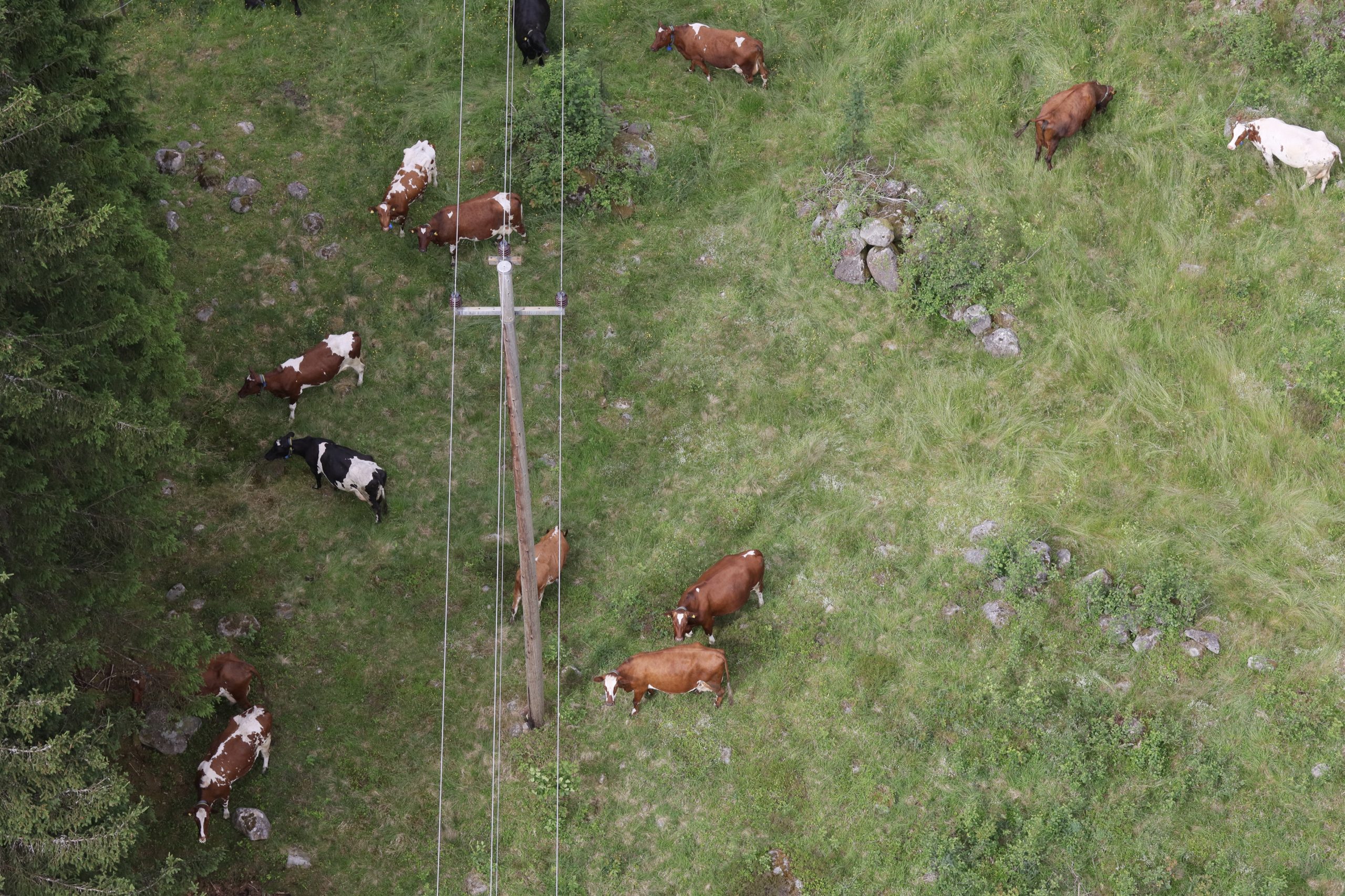
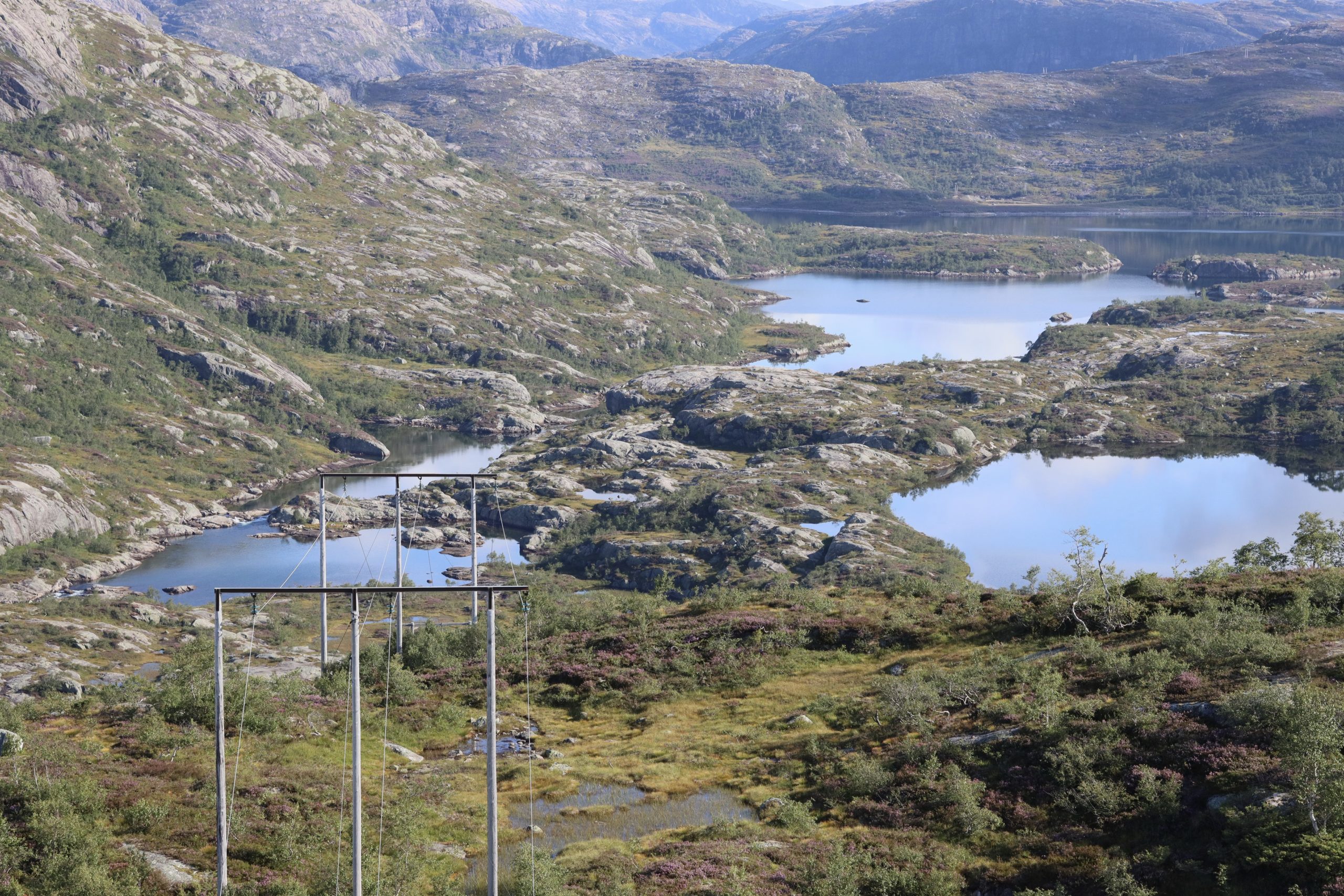
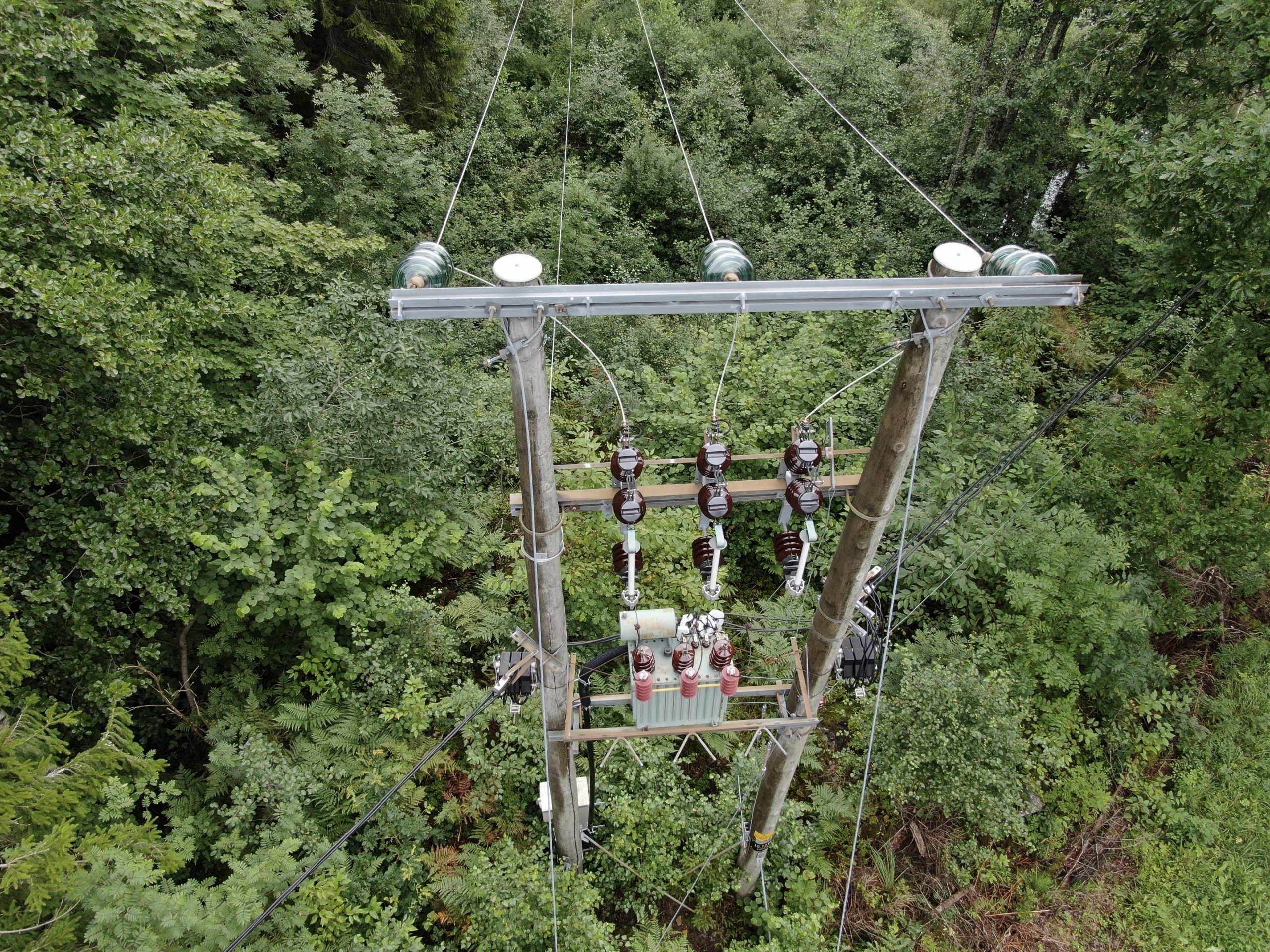
Agder Energi Nett (AEN) has about 5000km of high voltage (HV) power grid, and they are mandated by law to inspect the entire grid annually. For this they require oblique pictures of the poles, right of way pictures (ROW), nadir pictures of the lines and complete LiDAR scanning of the lines for vegetation management.
Solution
Over the last three years, Field has collected, analyzed, and presented data for over 105,000 poles on AEN’s power grid. The data collection has exclusively been done with unmanned aircrafts (UA) and sensor payloads developed and produced by Field. The images and 3D data are transferred to the customers in real-time over the 4G/5G network, allowing them to discover any critical errors and take immediate action. (Note: Field drone services now operate under a separate business entity: Stellaire).
Benefits
Using electric UAs is emission-free and causes much less disturbance to people and wildlife compared to other aircraft traditionally used in power grid inspections. In addition to this, Field collects data using intelligent, gimbal-controlled sensors, so that only the requested number of pictures, and pictures that show the correct angles of poles, are delivered to the customer. This ensures that they only receive the data they need, allowing them to maximise efficiency. Field delivers the complete value-chain from data collection through the use of UAs, data processing through QA inspections of imagery including the use of AI, and data visualization through a simple, easy-to-use inspection platform.

