Updated forest management plans from remote sensing: Orsa, Älvdalen and private owners
Sweden’s forest owners have a need for accurate high-resolution data, but the huge operating area can prove to be a real challenge.
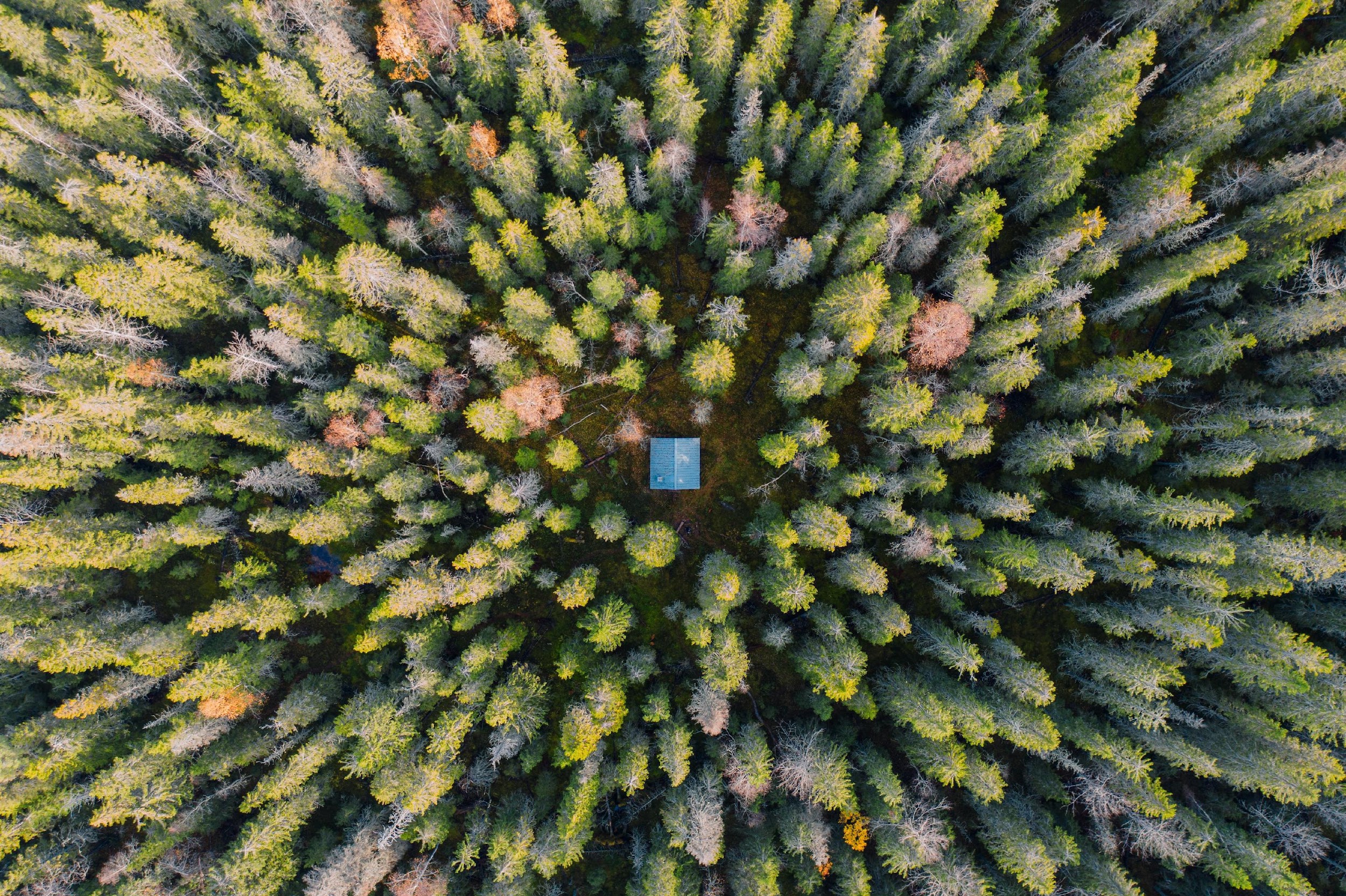
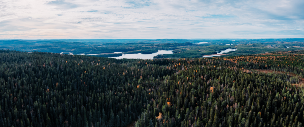
Between 2018 and 2021, Field was involved in a project where it offered its one-stop-shop solution – from scanning to data processing –- to forest owners Orsa, Älvdalen, Norra Venjan, Landbobyn and Hamra Besparingsskogar. The customers’ forest management plans were updated with new inventory data. Field also proposed measures for them to take in the near future so they could enjoy maximum profitability.
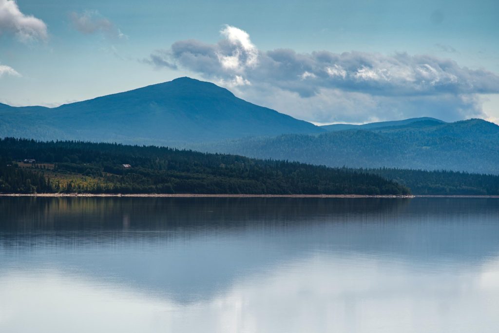
Our unique method of combining airborne data capture and field measurements ensures high accuracy of the data provided to the customer. This has been one of our largest projects to date, and we are very proud to have been of service.
Insights
Related articles
Mikko Salonen appointed new CEO of Field Geospatial
Webinar: Mobile Mapping – efficient and precise mapping for infrastructure and construction
Field Expands Leadership in Geospatial Data with Advanced RIEGL Mobile Mapping Technology
See all