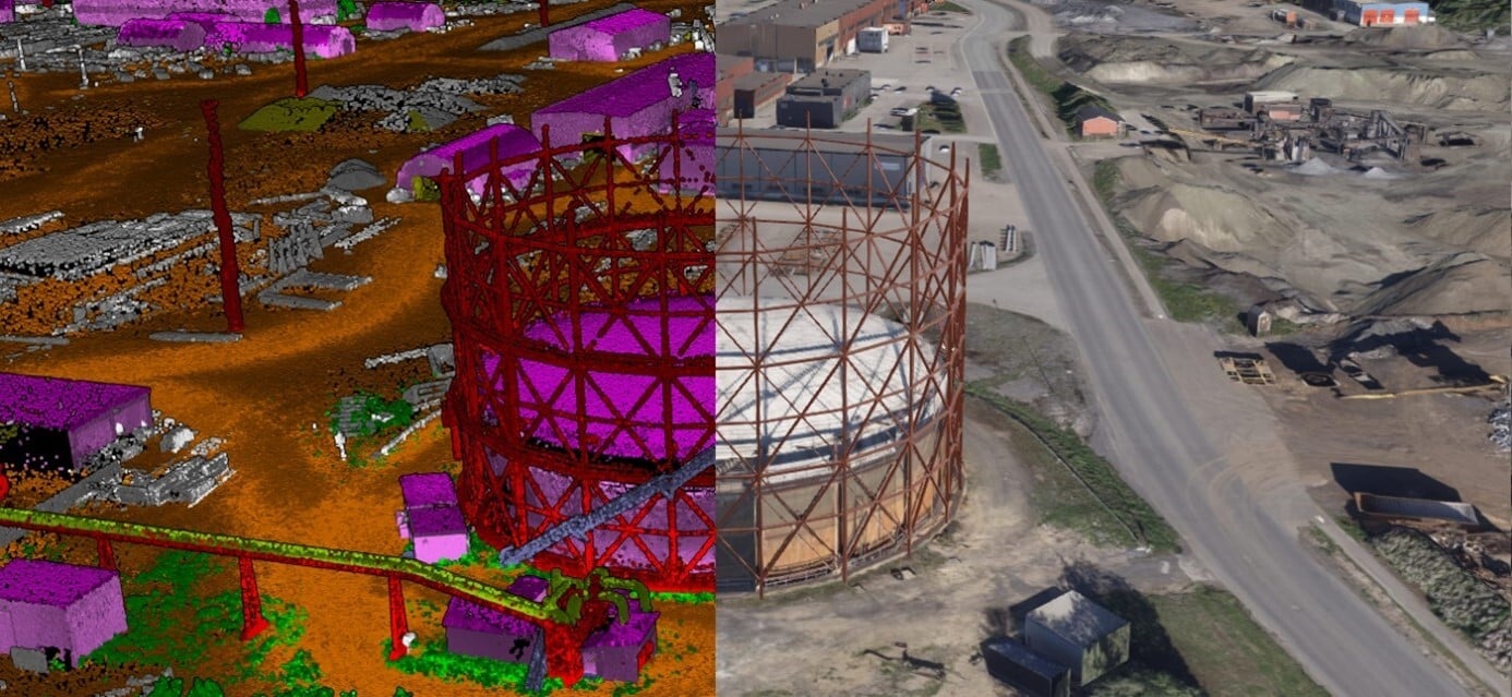
We develop detailed 3D models using modern sensor technology such as drones, laser scanning, LiDAR, and 360° cameras. The result is accurate models – both outdoor and indoor – tailored to the required level of detail.
The digital twin is delivered through our cloud-based platform, Mapspace, where you can view, analyze, and work with data directly in your browser.
Mapspace – gives you instant access to your 3D models
If want to access 3D models directly in a web solution, we can deliver the project in Mapspace, our cloud-based platform for visualization and insight. Here, we collect project data so you can view, analyze, and work with the data directly in your browser.
We also deliver the data directly to the customer's own solutions - by agreement.
Industries that capitalize on digital twins
Digital twins create value across many industries – especially where there is a need for clear insight into buildings, infrastructure, and technical assets.
🏗 Construction
- Documentation of existing buildings
- Project progress monitoring
- Volume and terrain analysis
- Improved collaboration between disciplines
Value: Fewer errors, better planning, and more efficient project execution.
🏢 Real Estate & Facility Management
- Full overview of property portfolios
- Maintenance planning
- Space analysis and optimization
- Documentation for tenants and owners
Value: Reduced operating costs, improved maintenance planning, and increased property value.
⚡ Energy & Utilities
- Overview of technical facilities
- Inspection of critical infrastructure
- Condition assessment and risk analysis
- Documentation before and after measures
Value: Increased safety, reduced downtime, and better investment decisions.
🚦 Transport & Public Sector
- Mapping of roads, railways, and urban areas
- Planning of development projects
- Visualization in zoning processes
- Public communication and decision support
Value: More efficient planning, improved communication, and safer decisions.
Get in touch with us for more information.