Services
Surveying and mapping
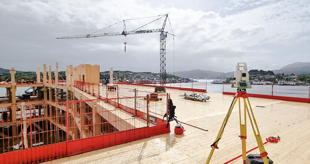
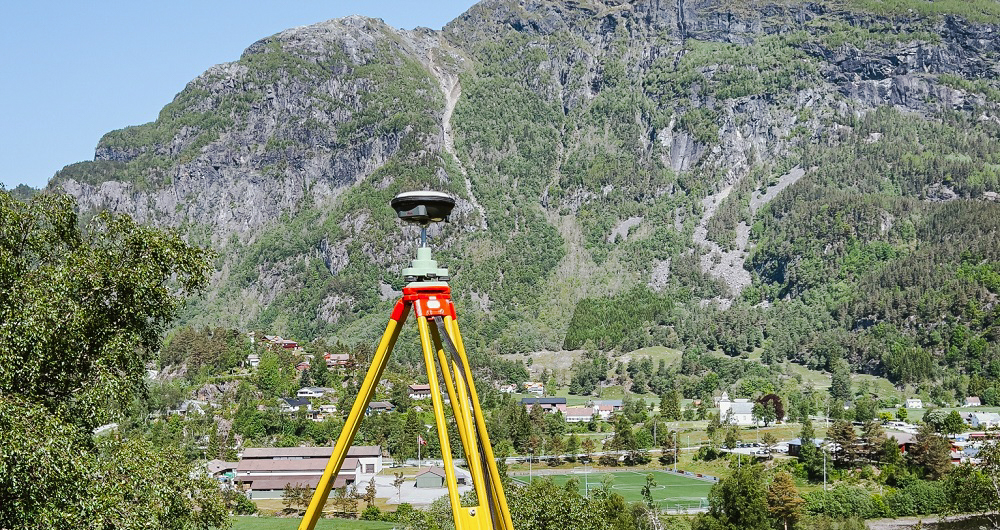
Our specialist land surveyors use proven measurement methods to map existing situations in terrain as a foundation for design, documentation and control. Collaborating with our customers, we agree on the purpose and goals for each project and then choose the best solution for measurements and delivery.
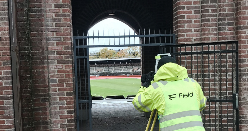
We are familiar with many mapping standards and are an important partner in measuring and mapping our customers’ projects.
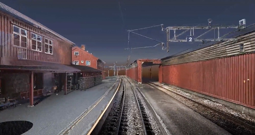
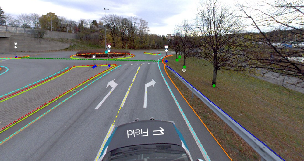
Our strength is combining data collected with different sensors into a complete model, providing an essential foundation for each project.
Importantly, we know there must be a correspondence between the foundation measurement and the later production survey. We always strive, whenever relevant, to measure and establish reference points at the same time as the first situation or terrain measurement — ensuring that measurements later in the project will follow the starting point.
If you need a good surveying partner for your project, contact us. We have land surveyors ready to assist you.
Get in touch
Oslo, Norway
Laurentiu Jisa
+47 406 16 934
laurentiu.jisa@fieldgeo.no
Bergen, Norway
Sven Bratland
+47 474 07 550
sven.bratland@fieldgeo.no
Stavanger, Norway
Dagfinn Solvik-Olsen
+ 47 930 48 141
dagfinn.solvik-olsen@fieldgeo.no
Sweden
Victor Kvarnström
+46 (0)70 249 51 74
victor.kvarnstrom@fieldgeo.se
Finland
Lasse Turunen
+35 850 491 5180
lasse.turunen@fieldgeo.fi
Land Surveying
Land surveying plays a critical role in the planning and execution phase for most infrastructure and construction projects worldwide. Land surveying ensures the accuracy between digital models and the physical world. The land surveying technique determines the accurate geographical three-dimensional position of points and the distances and angles between them. Our team has extensive experience delivering land surveying services for governments, businesses, and private individuals, predominantly throughout Norway but also in Sweden and Finland. Explore more Field Land Surveying services below.
