Services
Bathymetric LiDAR
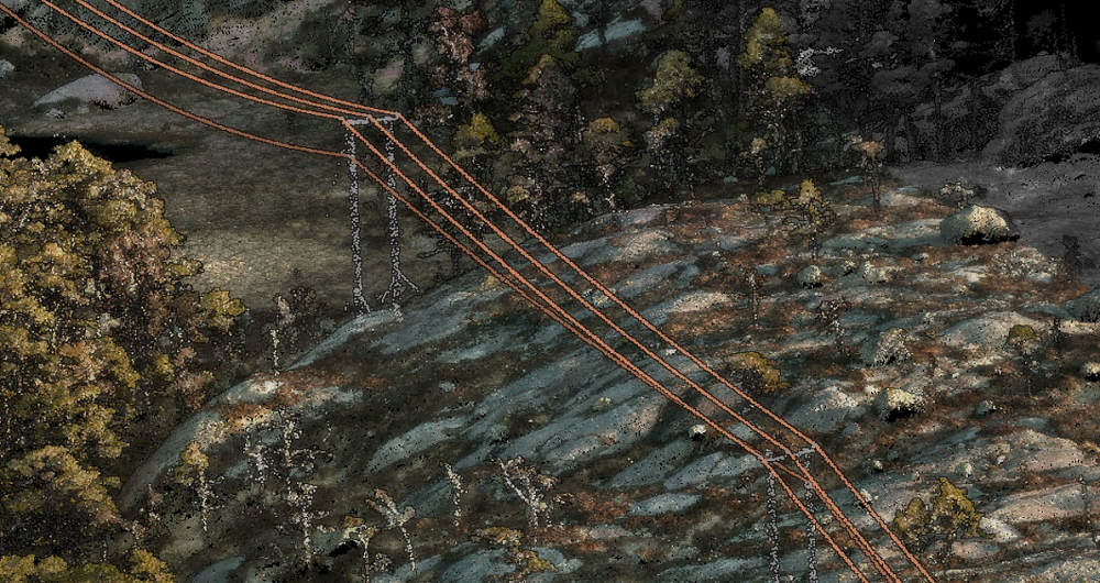
Bathymetric LiDAR is a technique to capture geospatial data of the coastline and shallow waters, facilitating efficient and fast hydrographic data. At Field, we use airborne laser scanning to gather laser data on land and water and have extensive experience in bathymetric laser scanning (green laser) in sea and freshwater areas, including rivers.
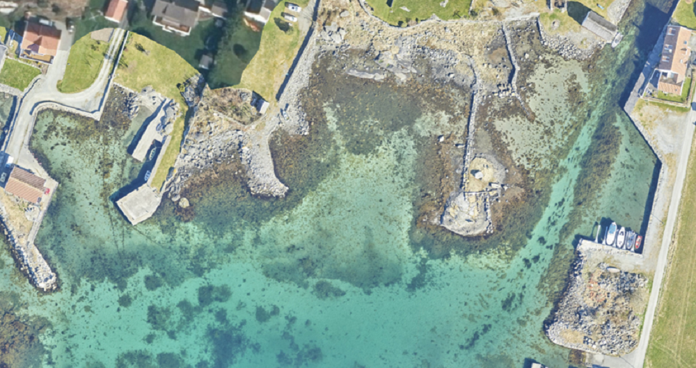
Bathymetric LiDAR is ideal for surveying shallow waters and surrounding land areas with high accuracy and precision.
The data collected is vital for mapping hazards such as landslides and flooding, project planning of security measures, and other planning needs in river basins.
When collecting depth data in shallow coastal sea areas along the beach zone, the data contributes to a comprehensive terrain model that binds traditional topographic data together with sonar data collected from boat-based systems.
The collected data is compiled and usually delivered as a terrain model or elevation contours, possibly with orthophoto as an additional product.
We also perform data collection with a multibeam echo sounder allowing us to complement data in areas where the airborne sensor will not work optimally.


Bathymetric LiDAR of Helligvær Archipelago, Norway. Data owned by Kartverket.
Get in touch
Europe
Charles de Jongh
+47 465 77 931
charles.dejongh@fieldgeo.no
Sweden
Ulrika Jalkemyr
+ 46 702 553 554
ulrika.jalkemyr@fieldgeo.se
Finland
Jan Biström
+35 840 5522 550
jan.bistrom@fieldgeo.fi
Aerial Surveying
Field has a history of aerial surveying dating back to the 1950s. We offer high-quality sensor services that deliver accurate data for digital products and decision making. Our unique competency and our fleet of ultramodern aircraft and sensors can meet even the most challenging project requirements. We have our own line of unmanned aerial surveying systems and also partner with local service providers worldwide. Explore more Field Aerial Surveying services below.
