20 March 2025

Field hosted its first annual career day for students at our Oslo headquarters on March 18th.
At Field, we're always looking for new ways to engage with the next generation of talent. This year, we opened our doors for the first-ever student career day at our Oslo headquarters, meeting students from various fields in geomatics, engineering & data science.
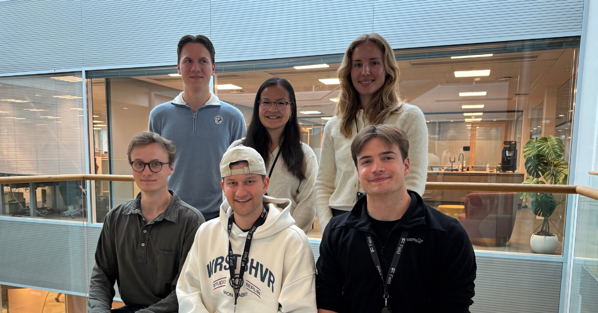
The event was a great success, with 25 enthusiastic students from the Norwegian University of Life Sciences (NMBU), the University of Oslo (UiO), and the Norwegian University of Science and Technology (NTNU) Gjøvik campus in attendance. They were joined by some of our new colleagues, creating an engaging and joyful atmosphere.
The evening's agenda was packed with insightful presentations. Seven of our colleagues, each with unique academic backgrounds and diverse work experiences, gave 15-minute presentations. These presentations highlighted the breadth of our business and the different opportunities available within our company.
15-minute talks:
- Introduction to Field - Lennart Flem
- Field Survey - Laurentiu Jisa
- Laser Technology & Geo-Scanning - Mohammed Sahan
- Automation in Geomatics - Vetle Odin Jonassen
- Mobile Mapping - Ole Vanebo
- Property Consultancy - Nils Evald Loftesnes
- Artificial Intelligence and Remote Sensing - Floris Jan Groesz
Demonstrations:
For a hands-on experience, we had sensors from our Airborne, Mobile and Survey departments on display. Some students even got the opportunity to check out our Mobile Mapping vehicle on the ground floor in our garage!
The event concluded with a casual networking session where we enjoyed pizza and refreshments while mingling and talking with our team members. This was a perfect opportunity for students to ask questions, make connections, and gain valuable insight into their potential career paths.
Given the event's success, we are excited to make this an annual tradition and can't wait to welcome even more students next year. We look forward to meeting you next year!