
Nature and environmental analysis

Nature and environmental analysis

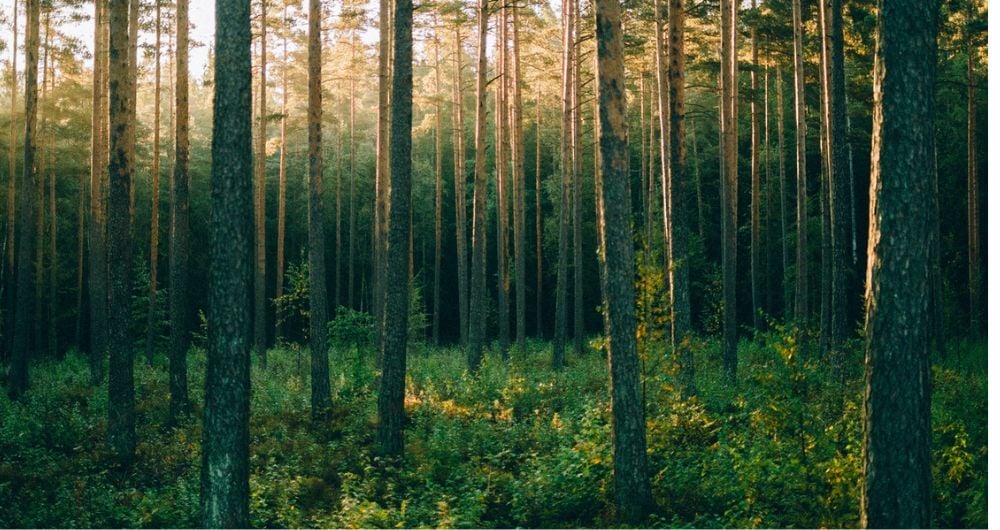
Field has extensive experience in remote sensing-based nature and environmental mapping. We help customers with forestry management and monitoring research of forests, oceans and mountaineering terrains. By combining LiDAR data and aerial imagery with field measurements, we can provide accurate and cost-effective inventory results over large areas.

We deliver Forest Inventory services where typical variables include tree height, tree species, diameter, growing stock and carbon stock. Using time series, we can also estimate site index, felling class and age. We use both area-based and detailed SingleTree analyses for various customers, ranging from forest industry and power companies to railway and road authorities and municipalities. We work primarily in the Nordic region and within boreal forests, but we also have experience running projects in America, Asia and Africa. We support our customers at every stage – from sensor selection, data collection and operation, and processing and analysis. We use advanced technology to collect, analyse and present forest and nature data for our customers in all planning software on the market via the Forestand format.


Services

≫ Biological inventories and surveys

Field_Biological-Inventories-Investigations

≫ Electricity and power grid services

Field_Utility-Services-Sweden

≫ Forestry monitoring and controls

Field_Monitoring-Internal-Controls-Services-Sweden_edited

≫ Forestry plans

Field_Forestry-Plans

Get in touch


Other services

Data capture and remote sensing

Field’s land and property specialists provide services in the cadaster, land acquisition and building application services. Our customers are mostly government departments and municipalities. We have a highly skilled team ready to help you with land and property services in Norway.

Read more


Land surveying

Land surveying plays a critical role in the planning and execution phase for most infrastructure and construction projects worldwide. Land surveying ensures the accuracy between digital models and the physical world. The land surveying technique determines the accurate geographical three-dimensional position of points and the distances and angles between them. Our team has extensive experience delivering land surveying services for governments, businesses, and private individuals, predominantly throughout Norway but also in Sweden and Finland.

Read more


Mapping & modelling

Field offers a broad set of geospatial mapping and data services such as urban and corridor mapping services, remote-sensing based forest inventory and location-based services. We are living in a digital world where digital models of physical assets are the standard. Design, construction and maintenance are done in 3D, which saves costs and increases efficiency. We have extensive experience processing geospatial data into 3D models of cities, infrastructure, buildings, terrain, and seabed.

Read more


Interactive software

Field offers a suite of software products that bring value to customers and partners worldwide. Our cloud-based software products help our customers easily access and use their data. Our software products support external data sources like WMS/WMTS or local vector data to empower you accurately and provide valuable insights online.

Read more


Land consultancy

Field has a history of aerial surveying dating back to the 1950s. We offer high-quality sensor services that deliver accurate data for digital products and decision making. Our unique competency and our fleet of ultramodern aircraft and sensors can meet even the most challenging project requirements. We have our own line of unmanned aerial surveying systems and also partner with local service providers worldwide.

Read more


We’re here to answer your questions

Contact us to discuss how we can help you and your organization plan, build and manage safe and efficient natural and built environments.