
Services


Analysis & AI


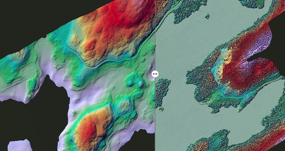
LiDAR point clouds and multispectral imagery contain vast information, and we have the expertise and tools to unlock this. We use several methods depending on the application, such as state-of-the-art deep learning methods to detect objects in imagery.

Analysis


Analysis

Point clouds can be similarly analyzed, resulting in tailored classifications. GIS or raster analyses are great tools for visibility analysis, hydrologic analysis (depth-to-water maps), and other terrain analyses like terrain exposure, slope, and solar radiation.  

We draw on a combination of methods to automatically detect cultural heritage remains in LiDAR data. In addition, existing map data is another valuable source of information that can be included in automatic analysis of LiDAR data and imagery.  

Our programming expertise allows us to quickly run multiple scenarios, stack the results, and perform sensitivity analyses. We can also incorporate other datasets like open satellite data (time series) and high-resolution commercial satellite data.


Get in touch

Floris Groesz

International

Floris Jan Groesz

Business Manager AI & Remote Sensing

+ 47 986 30 541

Charles de Jongh-1

International

Charles de Jongh

Business Manager Bathymetry

+47 465 77 931

Toni Selvli

Sweden

Toni Selvli

Sales Manager Sweden

+46 706 777 649

Lasse Turunen

Finland

Lasse Turunen

Sales Manager

+35 850 491 5180


Mapping_64x64png

Mapping & Modelling

Field offers a broad set of geospatial mapping and data services such as urban and corridor mapping services, remote-sensing based forest inventory and location-based services. We are living in a digital world, where digital model of physical assets is the standard. Design, construction and maintenance are done in 3D, which saves costs and increases efficiency. We have extensive experience processing geospatial data into 3D models of cities, infrastructure, buildings, terrain, and seabed. Explore more Field Mapping & Modelling services below.


Geospatial solutions powered by software, sensors, and AI technologies

Join us and help capture and transform accurate geospatial data into valuable insights and digital twins.