
Services


As-Built documentation


Whether a building, road, or railway, when a construction project is complete, it needs to be documented and checked that it was built correctly. Our specialist land surveyors use various methods of data capture to document the existing situation.

As-Built documentation


As Built documentation

As-Built documentation is an essential part of any construction process, providing a digital representation of the final product that can be used in several ways.

It requires an unprecedented amount of accuracy to showcase the exact specifics of a completed project, which is where we step in. Our surveying specialists make As-Built measurements as accurate as possible.

We choose the best method based on the size of the project and requirements for accuracy. With our up-to-date toolbox, we have everything needed to document our customers’ projects. 

After documenting the project, we process the data and run analyses against the projected base, identifying whether everything has been built correctly. Our analysis combines artificial intelligence and manual calculations.


Get in touch

Dagfinn solvik

Norway

Dagfinn Solvik-Olsen

Head of Field Survey

+47 930 48 141

Laurentiu Jisa

Norway

Laurentiu Jisa

Regional Manager Field Survey Oslo

+47 406 16 934

Sven Bratland

Norway

Sven Bratland

Regional Manager Field Survey Bergen

+47 474 07 550

Ole Jostein

Norway

Ole Jostein Lefstad

Regional Manager Field Survey Trondheim

+47 982 10 697

Lasse Turunen

Finland

Lasse Turunen

Sales Manager

+35 850 491 5180

Victor Kvarnström

Sweden

Victor Kvarnström

Project Manager

+46 (0)70 249 51 74


Land_surveying_64x64

Land Surveying

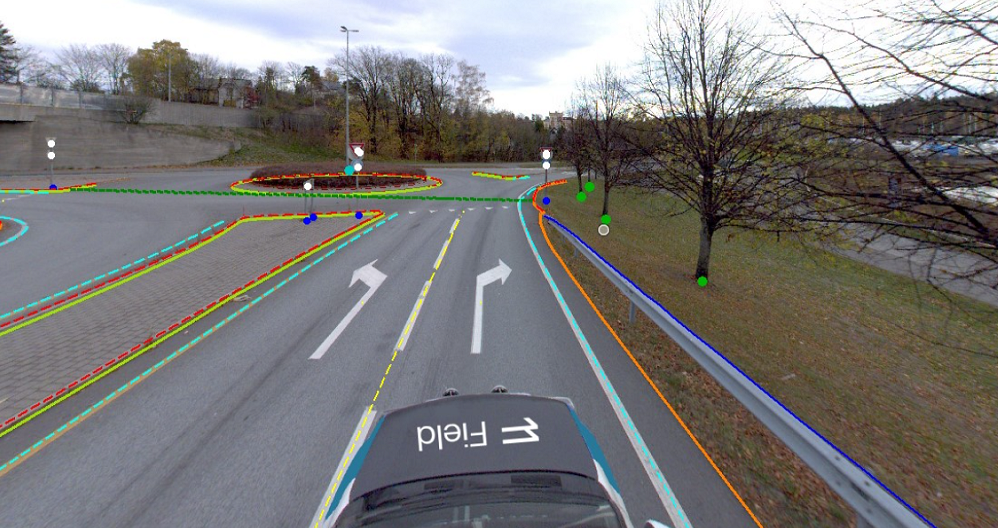
Land surveying plays a critical role in the planning and execution phase for most infrastructure and construction projects worldwide. Land surveying ensures the accuracy between digital models and the physical world. The land surveying technique determines the accurate geographical three-dimensional position of points and the distances and angles between them. Our team has extensive experience delivering land surveying services for governments, businesses, and private individuals, predominantly throughout Norway but also in Sweden and Finland. Explore more Field Land Surveying services below.

Geospatial solutions powered by software, sensors, and AI technologies

Join us and help capture and transform accurate geospatial data into valuable insights and digital twins.