
Mobile mapping
Mobile mapping is a highly efficient method for collecting extensive geospatial data from a moving vehicle, such as cars or trains. The system combines technologies like GNSS (GPS), inertial measurement units (IMU), high-resolution cameras, and LiDAR scanners to capture precise 3D data while the vehicle is moving.
360 street view imagery
3D-model
AI assisted analysis
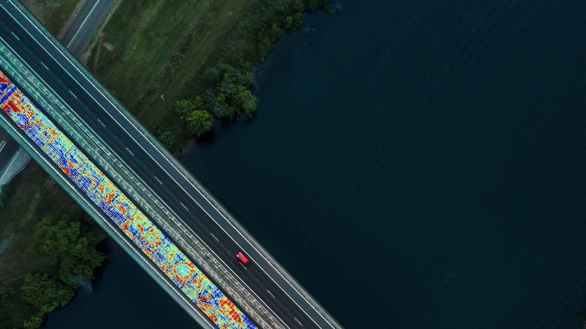
Analysis
As Built documentation
Mobile scanning
Reality capture along road and rails
With mobile mapping, we don’t just record data — we transform the physical environment into a detailed digital model. Every road, track, sign, barrier, pole, and surrounding structure is captured and processed into a high-resolution point cloud, effectively creating a digital twin of the environment. This allows engineers, planners, and project managers to visualize, analyze, and plan infrastructure projects with unprecedented accuracy — all without needing to be physically on site.
Delivery highlights:
-
Safest way to collect data on live roads and railways
- Fast and efficient data capture with high accuracy
- Complete 3D capture: geometry + imagery in one pass
- Minimal traffic disruption and field time
- Enables vectorization and production of GIS data (NVDB / FBK)
- One dataset - multiple uses
Technology highlights:
With laser scanners mounted on the rear of our vehicles, we can collect millions of points per second at speeds of up to 80 kilometers per hour.
The sensors are optimal for collecting large amounts of data quickly, particularly in areas that are difficult to access with traditional land surveying methods, such as busy streets, operational airports, tunnels, railways and city centers.
Field offers broad capacity and flexible deliveries with 4 different systems in operation:
- RIEGL VMX-2HA
- Optech LYNX SG1
- ViaTech System
- Viking
 RIEGL VMX-2HA System mounted on car.
Customer examples:
Mobile mapping is widely used by customers in public and private sectors within infrastructure, city planning, transport, and civil planning.
- Road condition assessments
- Traffic safety analysis
- Planning and design support
- Construction documentation
- Asset inventory and registration
We can deliver mobile mapping in several ways. We drive our vehicles on roads, tunnels, mines and quarries, and inside buildings. And we can place the system on flat railway cars to map railways and barges to scan waterfronts. We also record images and videos while scanning. These are very useful for documentation, planning, and as a practical replacement for site reconnaissance.
Why Work With Field?
In a market where data quality, reliability, and delivery capacity are critical, Field is a strong and experienced partner.
We combine:
- Broad operational capacity – able to deliver both large-scale national programs and smaller local projects
- Strong technical competence – our specialists have many years of experience in mobile mapping and geospatial data processing
- Nordic presence – we work with customers across the entire Nordic region
- Flexibility and bandwidth – we scale resources according to project size and timeline
- Proven delivery capability – from data acquisition to processed, ready-to-use datasets
Our team consists of dedicated experts who understand both the technology and the operational realities of road and railway infrastructure projects. This allows us to deliver consistent quality — even in complex, large-scale environments.
Get in touch with us for a quote or if you want more information.
Get in touch


Mobile Mapping & Geophysics
With laser scanners mounted on a car, we can acquire millions of points per second. This very detailed point cloud is used for creating 3D vector models and it is a basis for producing a TIN-model for advanced applications. At the same time with scanning, images and video can be captured. The images are 360-degree street view imagery that can be accessed and used in a separate web viewer, Mapspace. We can also collect information about road conditions and map utilities, groundwater and bedrock using ground penetrating radar. Explore our other Mobile Mapping & Geophysical Services below.


